Mass Public Peaks rank: #23
Elevation: 2,210 ft.
Prominence: 206 ft.
Isolation: 1.18 miles
Summit coordinates: 42°29’40.4″N 73°19’13.3″W
Town: Hancock, Massachusetts
Conservation Area: Pittsfield State Forest
Links:
Pine Mountain on Peakbagger
Pine Mountain on ListsofJohn
Pittsfield State Forest website (including trail map)
Pittsfield State Forest on Alltrails
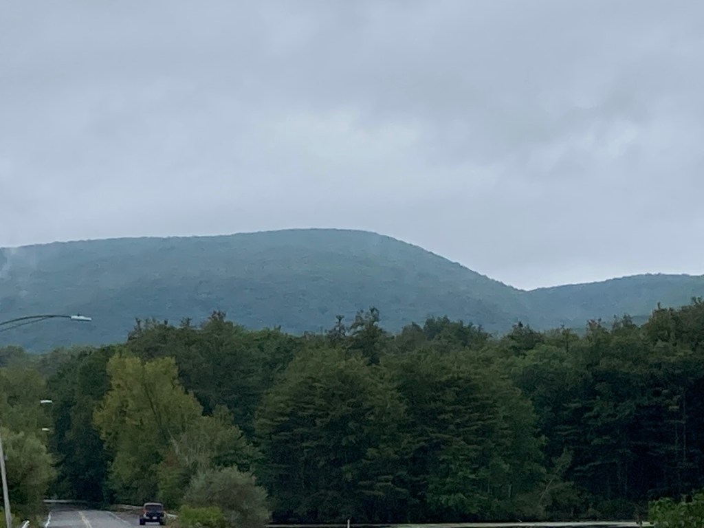
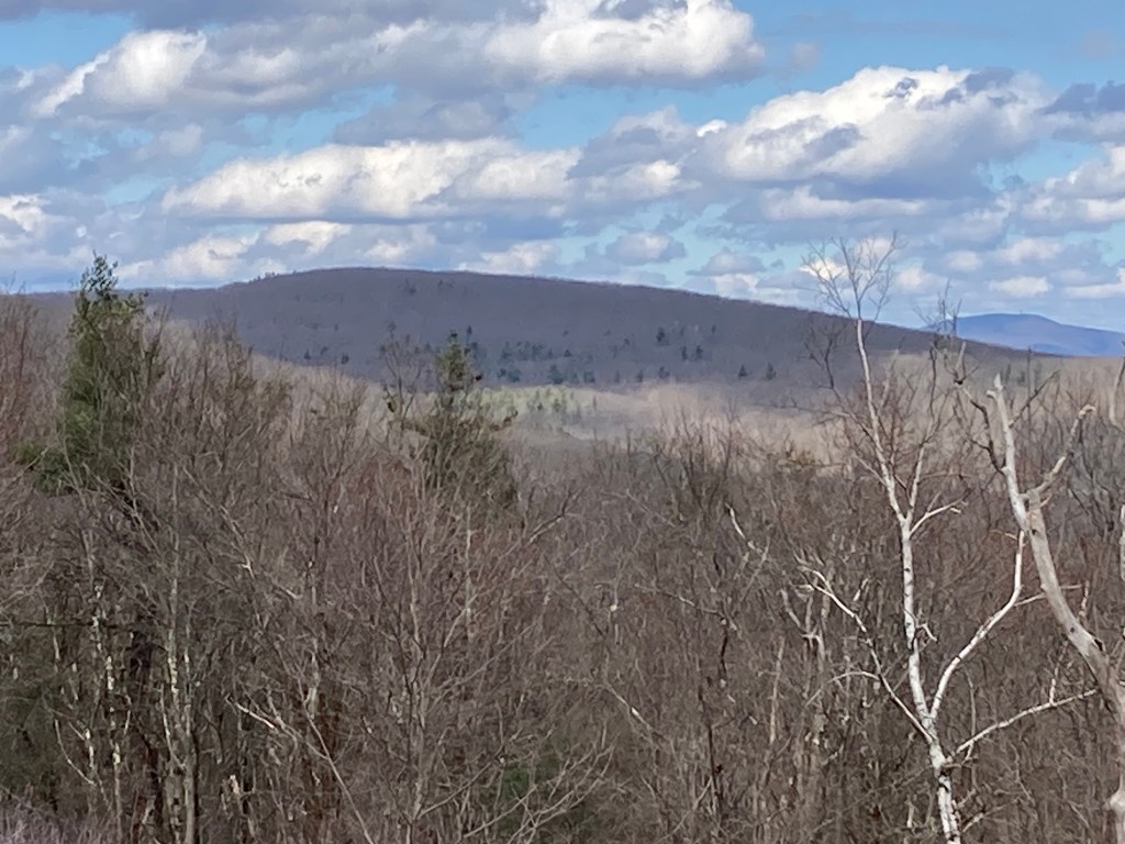
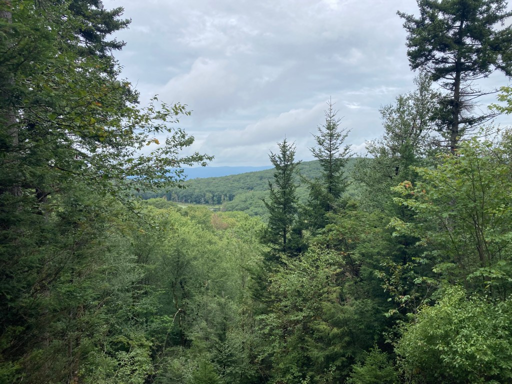
General info: Pine Mountain is part of the Taconic Mountain Range, located along the border of Massachusetts and New York. Its summit lies within the town of Hancock. The mountain is part of a chain of hills running north to south through Pittsfield State Forest, a popular recreation area offering amenities such as parking, camping sites, picnic spots, cross country skiing and other facilities. The summit is mostly hemmed in by trees but there is an opening to the northwest that allows a view. A rest there by the side of the trail at the summit looking to the northwest is a pleasant reward. If you take the Parker Brook Trail as I did, it will bring you past Tilden Swamp, a highland pond, which is prettier than it sounds and features one of the largest beaver damns I’ve seen. Tower Mountain (not included on the Mass 50 Highest Public Peaks due to lack of prominence) rises just west of Pine Mountain along the same ridge and is easily included in a day hike through this neck of the woods.
Historical background: For a time in the 1930s and 1940s, Pine Mountain was a popular skiing site–but not in the way we think of ski resorts now. This was old school. In 1934, as part of the New Deal work programs, the Civilian Conservation Corps (127th Company) established a large camp at Pittsfield State Forest. They undertook several projects, including the clearing of new ski and hiking trails, and a road leading up to the camp grounds by Berry Pond (the highest natural body of water in Massachusetts) on nearby Berry Mountain. Two of the longest and most popular ski trails in the State Forest were built on Pine Mountain. “Ghost” and “Shadow” (cleared in 1935 and 1938 respectively) still exist as steep trails on the east side of Pine Mountain. One had to hike up to make a ski run. According to Western Mass Hilltown Hikers the Commonwealth approved the construction of ski tows but this never happened and Pine Mountain was soon bypassed by larger ski areas.
Recommended ascent routes:
Pine Mountain and Tower Mountain in Pittsfield State Forest: This was my route to Pine Mountain (and Tower Mountain). Lots of parking at the foot of Pine Mountain (seemed to be the main parking area for the campground and headquarters of the State Forest). The Parker Brook Trail going up was very pleasant, running alongside a brook rushing through a small gorge. The Pine Mountain Trail is narrower but still well maintained. I took the Hawthorne Trail back down the east and this was very steep. Was glad I was heading down and not up. There was some great scenery this way–old cart paths, Hawthorne Brook, areas of pine forest with little to no undergrowth–a very pleasant walk. This route (including the side trip to Tower Mountain) was 5.1 miles with about 1,200 feet of elevation gain.
With such a large network of trails in this area, there are many other ways you can approach Pine Mountain, including via the Ghost or Shadow former ski trails which would make for a fairly steep and challenging ascent.
Nearby Mass 50 Highest Public Peaks: Seven different listed peaks lie within Pittsfield State Forest, so there are plenty of opportunities to summit others on the Mass 50 Highest Public Peaks list. Berry Mountain is closest to the north, and Honwee Mountain not far beyond that. Smith Mountain is close by to the south. The ridge through Pittsfield State Forest is just a great place for hiking.
Click photos to enlarge:

Leave a comment