
Mass Public Peaks rank: #34
Elevation: 1,966 feet
Prominence: 204 feet
Isolation: 0.9 miles
Summit coordinates: 42°12’59.5″N 73°17’32.2″W
Town: Great Barrington, Massachusetts
Conservation Area: Beartown State Forest
Links:
Benedict Pond Peak on Peakbagger
Beartown State Forest website (including trail map)
Beartown State Forest on AllTrails
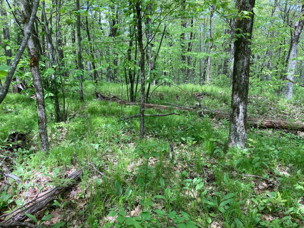
General info: Benedict Pond Peak is an unofficially-named peak located in Great Barrington, Massachusetts, within the sprawling Beartown State Forest in the southern Berkshires. This wooded peak rises above the 35-acre Benedict Pond, a scenic man-made lake nestled on a high plateau about 1,800 feet in elevation. The state forest encompasses over 10,000 acres of hardwood uplands, ponds, and trails across Great Barrington, Monterey, Lee, and nearby towns. The main entrance to the state forest has plenty of parking near the pond. After skirting around the pond, you’ll find a large network of trails to the north. The Beartown Mountain and Lookout Trails will take you up a gradual and easy ascent to a lookout on the shoulder of Benedict Pond Peak. This pleasant lookout is really the only view to be had in the vicinity of Benedict Pond Peak and it allows a nice vista west to the Taconics. A little further up, the summit of Benedict Pond Peak is fairly uninteresting as compared to the lookout. If you want to stand on the precise highpoint, it’s maybe 100 feet north of the Wildcat Trail–you’ll see a small knoll.
Historical background: Beartown State Forest lies within the ancestral homeland of the Mohican people. Nearby peaks like Monument Mountain were sacred sites where Mohicans left prayer offerings, reflecting the cultural significance of the region’s heights. By the early 1800s, Euro-American settlers had cleared much of what is now the state forest for farms, pasture, and charcoal production, dramatically altering the wilderness. By the late 19th century, many farms were abandoned, and extensive logging denuded the hills to supply lumber and charcoal for local iron furnaces.
Fred Benedict (1866–1930), a dairy farmer, owned a large farm that included Benedict Pond (then much smaller), which was a valuable ice source before refrigeration. Each winter, he cut ice blocks and stored them in insulated icehouses to preserve milk and butter. The pond—later bearing his name—changed hands in the early 1900s, becoming a private hunting preserve under Frederick Pearson, a wealthy engineer who perished in the 1915 sinking of the RMS Lusitania. Shortly after, the land was sold to the Commonwealth of Massachusetts, as the state sought to establish public forests.
Massachusetts began acquiring Beartown’s land in 1920–21. During the Great Depression, the Civilian Conservation Corps (CCC) launched major conservation efforts, with CCC Camp SP-6 (“Pine Cone Johnnies”) employing 200 workers. The CCC built roads, trails, a campground, and sections of the Appalachian Trail, as well as an earthen dam (1934–35) to enlarge Benedict Pond for recreation. Once a small swampy pond, it became the 35-acre lake seen today. After decades of re-growth, the once-barren slopes are now covered in a mature second-growth forest, roughly 90–100 years old.
Recommended ascent routes:
Mount Wilcox and Benedict Pond Peak in Beartown State Forest: This was my route around Benedict Pond and through Beartown State Forest to Benedict Pond Peak and Mount Wilcox. An approach from the south is the most logical route as the main entrance and parking are situated at the southern end of the state forest by Benedict Pond. Plenty of parking. I took the Beartown Mountain Trail to the smaller Lookout Trail which ascended Benedict Pond Peak. The lookout on the shoulder of Benedict Pond Peak is really the only place along this route where you get a view, and it’s a very pleasant one looking west to the Taconics. A good place to stop for a bit. Then I took the Wildcat Trail to the top of Benedict Pond Peak and then connected with the Mount Wilcox Trail.
Nearby Listed Peaks: Mount Wilcox, as mentioned, is located a short distance from Benedict Pond Peak. To the east, Hunger Mountain is just a short drive away, while Peeskawso Peak lies to the west. Peeskawso Peak is particularly striking, featuring dramatic craggy rock formations and offers a fun hike. Hunger Mountain is a less dramatic to be sure but nonetheless has a lovely view from its summit.

Leave a comment