
Mass Public Peaks rank: #28
Elevation: 2,096 feet
Prominence: 499 feet
Isolation: 3.42 miles
Summit coordinates: 42° 41′ 21” N, 72° 53′ 4” W
Town: Rowe, Massachusetts
Conservation Area: Pelham Lake Park
Links:
Adams Mountain on Peakbagger
Adams Mountain on ListsofJohn
Pelham Lake Park, Town of Rowe website (including trail map)
Pelham Lake Park on Alltrails
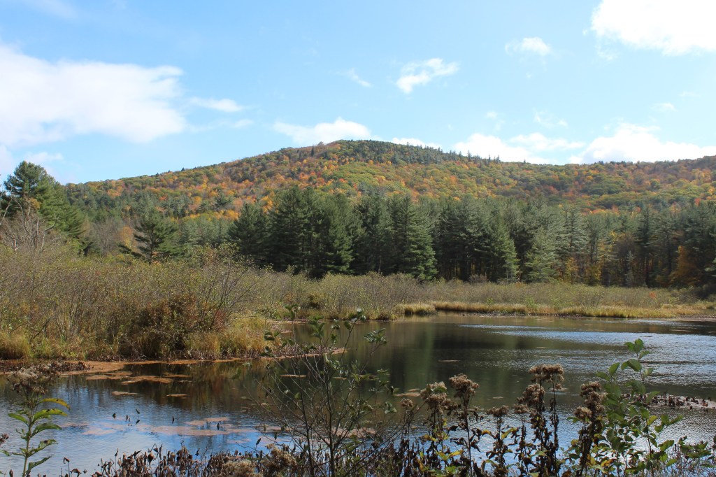
General info: Adams Mountain, part of the Hoosac Range in the northern Berkshires, is the highest point in Rowe, Massachusetts, and a prominent feature of Pelham Lake Park. The park, owned by the Town of Rowe, spans approximately 1,360 acres. While access to the lake and recreation facilities is restricted to Rowe residents, the mountain trail network is open to the public. However, parking can be challenging. The lake parking area is reserved for residents, but there are alternative options. I was able to secure permission to park at a private retreat center adjacent to the park after calling ahead. It may also be worth contacting the park office to inquire about public parking. The town’s trail map indicates there are roadside parking areas along the eastern side of the park, though I did not investigate these myself. Despite the parking challenge, this is a truly wonderful area for hiking, with trails in excellent condition and lovely wooded surroundings.
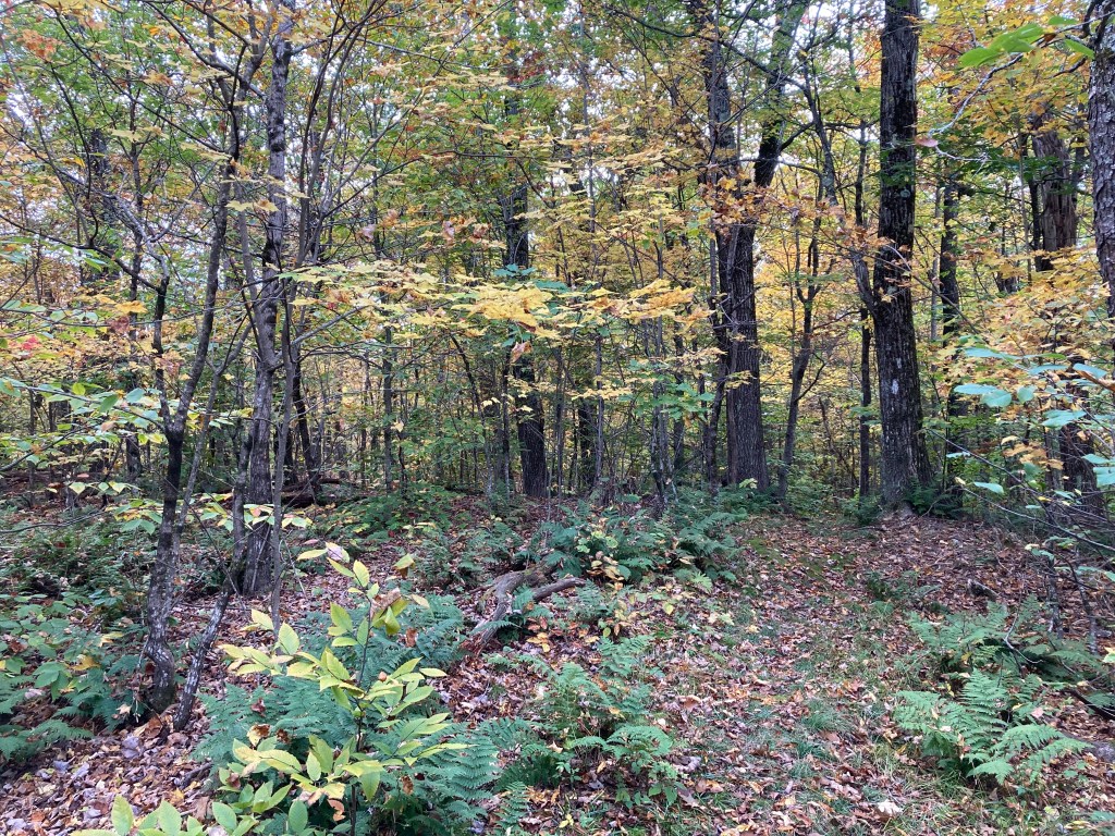
The summit of Adams Mountain is forested, and the high point is located along the White Trail. I didn’t explore the southeast overlook as I was eager to continue to the summit of adjacent Todd Mountain. However, I regret missing it, as photos of the overlook on AllTrails suggest it offers stunning views. On the way down Adams Mountain, I followed the Ridge Trail on the eastern side, which is extremely steep. I was glad I wasn’t ascending that way! As I continued toward Todd Mountain, the trails became less defined and clearly less traveled but still quite pleasant. Overall, Adams Mountain and its surroundings offer one of the best hikes in the area.
Historical background: One of the smallest towns in Massachusetts, Rowe once had several small mills along its brooks, including the Foliated Talc Mill which obtained its power from a dam on Pelham Brook. The resulting Pelham Lake became a treasured feature of the town. After the mill went out of business, a prominent local summer resident named Percy Whiting Brown obtained the mill property in 1927 and restored the dam, thus preserving the lake. He also acquired the surrounding land including much of Adams Mountain. All of this he gave to the Town of Rowe in the 1950s with the stipulation that it be kept in its natural state as “a town forest and park and for public recreation purposes.” Brown also wrote the History of Rowe, Massachusetts and was one of the founders of the Rowe Historical Society. The mountain is named after John Adams…but not the one you’re thinking of. John Adams (1720-1813) was a farmer in Rowe who owned land on the southwest side of the mountain.
Recommended ascent routes:
Adams Mountain and Todd Mountain Loop: This was my route including Adams Mountain and Todd Mountain. As noted, the trails on Adams are better worn and well-marked. The trails grew a bit hard to follow in places over Todd Mountain. But in all, this was a great hike, about 4.5 miles and 950 feet of elevation gain.
Nearby Mass 50 Highest Public Peaks: As noted, Todd Mountain (#37 on this list, not to be confused with Todd Mountain in Charlemont) is early paired with Adams in an afternoon hike. Mohawk Trail State Forest with the other Todd Mountain, Clark Mountain, and nearby Negus Mountain is just a short drive away, though I wouldn’t recommend trying all these in one day.
Click photos to enlarge:

Leave a comment