Mass Public Peaks rank: #24
Elevation: 2,205 ft.
Prominence: 186 ft.
Isolation: 0.49 miles
Summit coordinates: 42° 30′ 9” N, 73° 18′ 56” W
Town: Hancock, Massachusetts
Conservation Area: Pittsfield State Forest
Links:
Berry Mountain on Peakbagger
Berry Mountain on ListsofJohn
Pittsfield State Forest website (including trail map)
Pittsfield State Forest on Alltrails
General info: Berry Mountain has been “smuggled” onto this list, in a way, because it does not meet the 200 feet of prominence criteria. However, it falls just 14 feet short and meets the other criteria so strongly that its inclusion is well justified. Located in Pittsfield State Forest, it boasts an outstanding network of trails. Berry Mountain is part of the Taconic Mountain Range, situated along the Massachusetts-New York border, with its summit lying within the town of Hancock. The mountain is part of a chain of hills running north to south through the state forest, a popular recreation area offering amenities such as parking, campsites, picnic spots, cross-country skiing, and other facilities.
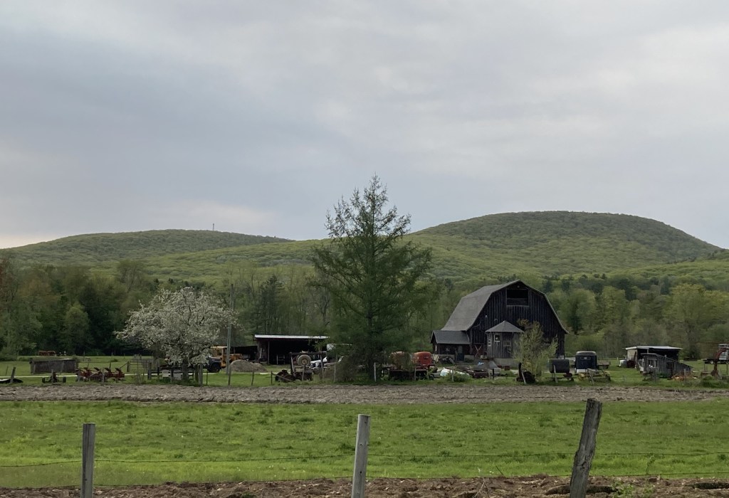
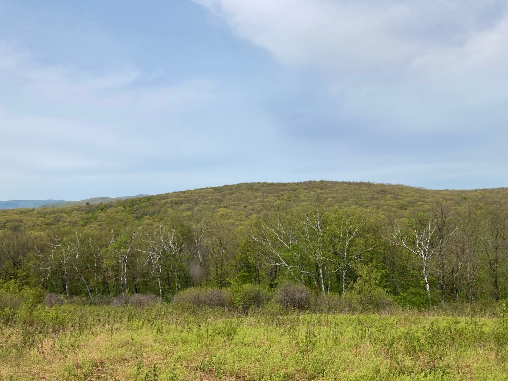
The summit…is not much to look at, with its radio tower, paved access road, and lack of views. But let’s overlook that because the surrounding area is full of very pleasant hiking. Just a bit west of the summit lies the subpeak, Berry Hill, which boasts lovely views. (Note that some guidebooks confuse Berry Mountain with its subpeak, Berry Hill, mistakenly claiming that Berry Mountain itself has fine views. It’s an easy mistake, but the western subpeak is where the views are). The Taconic Skyline Trail runs very close to the summit of Berry Mountain. To reach the actual summit, simply follow the gravel access road that spurs off the TST. On my way down, I followed the TST heading north and enjoyed the route through beautiful woods.
Berry Mountain is also known for its expansive azalea fields along the paved road leading to the summit. This attraction is mentioned in a number of older driving guidebooks about the region. I visited in mid-May, and while I can’t say I noticed the azaleas, it was likely a bit too early in the season for them.
Historical background: Pittsfield State Forest was officially established in the early 20th century as part of a broader movement to conserve natural resources and create public recreation areas. The land originally consisted of overused farmland, degraded forests, and abandoned properties. During the Great Depression, the Civilian Conservation Corps (CCC), a New Deal program, played a significant role in transforming the forest into a public space. The CCC workers constructed roads, trails, and facilities while reforesting large areas with pine, spruce, and hardwood trees. Their efforts not only rejuvenated the land but also provided jobs during a time of economic hardship. The many projects undertaken by the CCC in Pittsfield State Forest included constructing a road up the slopes of Berry Mountain to Berry Pond (the highest natural body of water in Massachusetts) right near the summit of Berry Mountain. They also built a small campground there.
Recommended ascent routes:
Honwee Mountain and Berry Mountain via Lulu Brook Trail: This was my route to Honwee Mountain, Berry Hill, and Berry Mountain, via the Lulu Brook Trail to the Honwee Circuit Trail and others. Plenty of parking at the State Park Lulu Cascade parking area. This was a fun hike involving three different peaks, a beautiful brook running through a small gorge, and some pleasant meadows. Varied terrain. I enjoyed the views from Berry Hill, even if the paved access road does skirt around this area. From there, I crossed through the small camping area encircling Berry Pond and made my way up the gravel road to the summit of Berry Mountain. About 6.4 miles and 1,400 feet of elevation gain in all.
Nearby Mass 50 Highest Public Peaks: Seven different listed peaks lie within Pittsfield State Forest, so there are plenty of opportunities to summit others on the Mass 50 Highest Public Peaks list. Pine Mountain is closest to the south, and Honwee Mountain also nearby to the north. All three (and more if you’re ambitious) could easily be done together in a day hike. The ridge through Pittsfield State Forest is a great place for hiking.
Click photos to enlarge:


Leave a comment