Mass Public Peaks rank: #17
Elevation: 2,307 ft.
Prominence: 367 ft.
Isolation: 2.46 miles
Summit coordinates: 42° 30′ 39” N, 73° 18′ 24” W
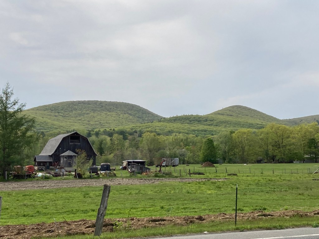
Town: Lanesborough, Massachusetts
Conservation Area: Pittsfield State Forest
Links:
Honwee on Peakbagger
Honwee Mountain on ListsofJohn
Honwee Mountain on Wikipedia
Pittsfield State Forest website (including trail map)
Pittsfield State Forest on Alltrails
General info: Honwee Mountain is a prominent peak in the Taconic Mountain Range, located along the border of Massachusetts and New York. Straddling the towns of Lanesborough and Hancock, the mountain is the tallest in a chain of hills that stretches north and south through Pittsfield State Forest. Its summit, rising to an elevation of 2,307 feet, lies within the boundaries of Lanesborough. Pittsfield State Forest, which encompasses Honwee Mountain, has a range of amenities, including parking areas, picnic spots, and other facilities. The summit of Honwee is thickly wooded. The only views in this immediate area are from the top of nearby Berry Hill (not to be confused with the adjacent Berry Mountain). The Honwee Loop Trail will essentially take you right over the summit of Honwee. The true highpoint appears to be just slightly north of the trail (only a stone’s throw), but it’s difficult to tell as the ground up there is rather even.
Historical background: In 1934, as part of the New Deal work programs, the Civilian Conservation Corps (127th Company) established a large camp at Pittsfield State Forest. They undertook several projects, including the construction of new ski and hiking trails and a road leading up to Berry Pond (the highest natural body of water in Massachusetts) on adjacent Berry Mountain. The small building that served as their camp headquarters still stands and is now used by the State Park. This historic structure is located at the foot of Honwee Mountain near Lulu Cascade, adjacent to the most convenient parking area for accessing the mountain.
A 1934 article in The Berkshire Eagle stated that “Honwee” is a Native American term meaning “largest among hills,” a fitting description given the mountain’s prominence along the range of hills. Another publication suggested the word means “chief,” which also makes sense. However, these attributions should be taken with a grain of salt. It is unclear whether “Honwee” is a Native American term at all. It seems the first appeared in publications around the time of the CCC project, and its likely that the workers themselves coined the mountain’s curious name.
Recommended ascent route:
Honwee Mountain and Berry Mountain via Lulu Brook Trail: This was my route to Honwee Mountain, Berry Hill, and Berry Mountain, via the Lulu Brook Trail to the Honwee Circuit Trail and others. This was a fun hike involving three different peaks, a beautiful brook running through a small gorge, and some pleasant meadows. Varied terrain. It passes through a camping area encircling Berry Pond. About 6.4 miles and 1,400 feet of elevation gain.
Nearby Listed Peaks: There are plenty of opportunities to include other listed peaks in this area. Berry Mountain is the closest. You could continue further south and include Pine Mountain. Or head north from Honwee to include Poppy Mountain. An extensive network of good trails connects all these peaks. This area has the densest concentration of listed peaks.
Click on images to enlarge:


Leave a comment