Mass Public Peaks rank: #15
Elevation: 2,434 ft.
Prominence: 787 ft.
Isolation: 1.97 miles
Summit coordinates: 42° 32′ 51” N, 73° 16′ 13” W
Town: Lanesborough, Massachusetts
Conservation Area: Widow White Reserve managed by the Berkshire Natural Resources Council
Links:
Widow White’s Peak on Peakbagger
Widow White’s Peak on ListsofJohn
Potter Mountain Ridge on Wikipedia
Widow White’s on BRNC website
General info: Widow White’s Peak is the highest point in a chain of summits collectively known as Potter Mountain. Over the decades, there has been some confusion and transposition regarding the names of the peaks along this ridge (further details are provided below under Historical Background). Currently, it seems the consensus is that “Potter Mountain” refers to the larger ridge, which includes Widow White’s Peak (the ridge’s highpoint), neighboring Jiminy Peak, and other unnamed summits.
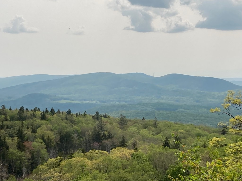
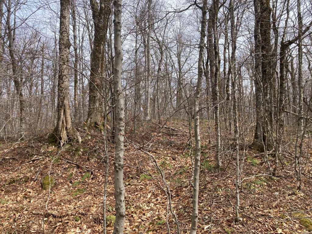
I debated whether to include Widow White’s on this list due to the bushwhacking required to reach its true highpoint. The summit lies about a quarter-mile off-trail, necessitating roughly half a mile of bushwhacking in order to complete the last hundred or so feet of elevation. While this was initially enough to convince me to leave it off, it meets the other two criteria so strongly that I reconsidered. Widow White’s ranks among the top 10 in the state for prominence and the summit is located squarely in publicly accessible land managed by the Berkshire Natural Resources Council. Hiking access is available through the Jiminy Peak Ski Area, which offers spectacular views.
So, with the caveat that reaching the precise highpoint involves navigating through some dense brush, I’ve decided to include Widow White’s on this list. For those less concerned about bagging the exact summit, excellent trails provide access to points very close to it.
Historical background: The name “Potter Mountain” appears to predate “Widow White’s Peak.” References to Potter Mountain can be found in late 19th-century publications, both scientific and folklore-related. One story I like involves a Hancock family going to the top of Potter Mountain to hear the distant cannons thunder during the Battle of Bennington as they waited for the father, who was in the battle, to come home. The name “Widow White’s Peak” seems to have emerged in the 20th century. Jiminy Peak ski area opened in 1948, and several newspaper articles around that time explained the reason for the new name. According to one, developers “planned to name it after the hill on which it was located, but studying old maps, they were dismayed to find it was known as Widow White’s Peak…Feeling this was an unfortunate name for a ski run, they christened their entire enterprise Jiminy Peak” (Berkshire Eagle, July 27, 1957). The 1944 USGS topographic map indeed labels the current Jiminy Peak as “Widow White’s Peak,” while the highpoint now known as Widow White’s Peak is labeled “Potter Mountain.” This inconsistency adds to the confusion.
According to some accounts, a Widow White once owned the land, although details about her identity—or even her existence—remain unclear. White families were present in both Hancock and Lanesborough, suggesting the story may have some basis in fact. The ski area later expanded, adding a lift that extended toward Widow White’s Peak, nearly reaching its summit, along with new ski trails on the east side of the ridge.
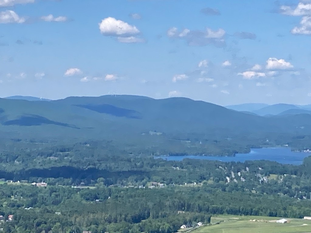
Recommended ascent routes: I highly recommend accessing Widow White’s Peak via the hiking trails at Jiminy Peak Ski Area. While the BRNC maintains a trail on the east side of Widow White’s, starting from a trailhead on Silver Street in Lanesborough, it’s important to note that this trail does not lead close to the summit. And even if one were to try bushwhacking up the east slope, there are bluffs on that side that would prevent it. Jiminy Peak permits hiking, and their trails are tucked away in the woods on the west side of the ski area. These paths eventually connect to the ski trails near the summit of Jiminy Peak, where you’ll be greeted with truly outstanding views. And from there, it’s not far to the summit of Widow White’s.
Suggested route: Park at the Jiminy Peak Ski Area on 37 Corey Road. There are multiple hiking paths up the west side of the ski area. I took Path C which is the further west, but the trailhead was a little tricky to find in an area of condos where they maybe didn’t want people to go. I might recommend A or B that begin right at the ski area. Once at the top of the Jiminy Peak lifts, enjoy the views, then find the old branch of the Taconic Skyline Trail. This will take you east to within about a quarter mile of the summit. When the old TST turns sharply north, proceed straight offtrail. The summit area is a bit of a plateau so it’s a little tricky to find the exact highpoint, but I think any one of the little knolls in the center of the contour are about even. If you double-back, this route will be about 4.8 miles with about 1,600 feet of elevation gain.
Nearby Listed Peaks: The Potter Mountain trails do connect with the Pittsfield State Forest Trails to the south and it would be theoretically possible to bag Widow White’s, Poppy Mountain, and even Honwee Mountain at the same time, but that would be a trek of about 8-10 miles depending on where you start. Widow White’s is a short drive from the recommended trailhead for Misery Mountain and Misery Mountain North (you get a good view of both of these from Jiminy Peak). It’s also a short drive from the various Greylock peaks.
Click to enlarge photos:

Leave a comment