Mass Public Peaks rank: #10
Elevation: 2,584 ft.
Prominence: 228 ft.
Isolation: 0.9 miles
Summit coordinates: 42° 38′ 37” N, 73° 11′ 40” W
Town: Williamstown, Massachusetts
Conservation Area: Mount Greylock State Reservation
Links:
Stony Ledge on Peakbagger
Stony Ledge on ListsofJohn
Mount Greylock State Reservation (including link to trail map)
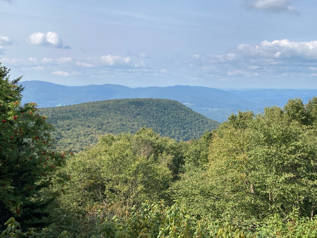
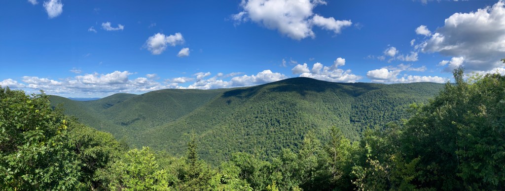
General info: Stony Ledge, although #10 in terms of elevation, is easily in my top five favorite Massachusetts peaks for the quality of the trails and the absolutely stunning view. It lies within the Mount Greylock State Reservation, the 12,000-acre preserve that protects the highest mountains in the state. The ledge one of the clearest perspectives of the Greylock Massif — including a dramatic look straight at Mount Greylock’s summit and a sweeping view down into the glacially carved bowl known as “the Hopper.” From this vantage point you can see westward toward the Taconic Range and north into Vermont, with more than a thousand feet of vertical relief beneath you as the woods fall away into the valley below.
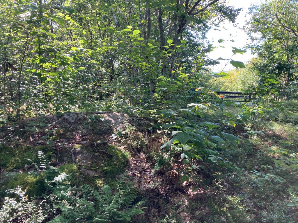
Stony Ledge can be reached via several well-maintained paths — including the somewhat strenuous Stony Ledge Trail (about 4.3 miles round-trip with over 1,500 feet of gain) or as part of longer loops that connect to the Hopper, Haley Farm, Roaring Brook, and Sperry Road trails. Many hikers begin at the Hopper Road or Roaring Brook trailheads and work up through forest and ancient woods roads before emerging onto the exposed granite-covered ledge itself.
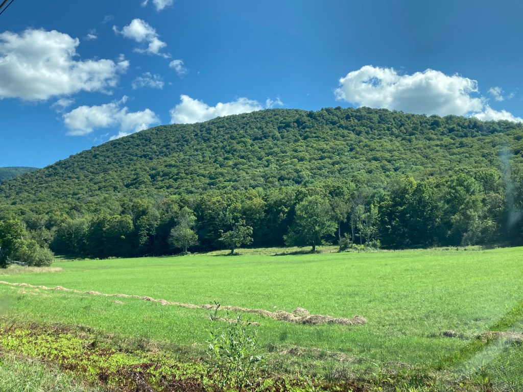
Geographically speaking, Stony Ledge is part of the same old mountain block that makes up the Greylock Range — rock that was pushed up and crumpled long ago and then carved and smoothed by the glaciers of the last Ice Age. Unlike the volcanic traprock ridges you find farther east in Massachusetts, the Greylock area is made of much older, tougher metamorphic rock. Over time it has cracked and broken into big slabs and ledges — exactly the kind of rocky outcrops you stand on (and walk across) at Stony Ledge.
Historical background: As hiking and outdoor recreation gained popularity in the mid-1800s, Stony Ledge became a favored destination for visitors drawn by its scenic summit views. In 1897, state officials formally named Stony Ledge as part of the Commonwealth’s efforts to acquire land for what would become the Greylock State Reservation. Established in 1898, the reservation protected Mount Greylock and surrounding lands, including Stony Ledge. During the Great Depression, the Civilian Conservation Corps (CCC) played a significant role in developing Mount Greylock State Reservation, building roads (including Sperry Road, which allows seasonal vehicle access to Stony Ledge from the south), scenic stone stairways (like the one along the Hopper Trail on the east side of Stony Ledge), and campground facilities on the southern slopes that are still in use today. The CCC also constructed a viewing platform at the summit to enhance the vista, though it has since been removed.
Recommended ascent routes: A DCR trail map can be found here. There are a few ways to reach the summit.
Stony Ledge via the Hopper Trail: Starting from the Haley Farm Parking Area on the north side, I began my ascent via the Hopper Trail, which offers beautiful scenery and partial views of Mount Greylock along the way up. A right turn onto Sperry Road led me through the camping area and up to the summit, where I enjoyed the splendid panoramic view. For the descent, I took the Haley Farm Trail, which is quite steep with numerous switchbacks—definitely better suited for going down than up. The hike totaled 5.8 miles with approximately 1,500 feet of elevation gain.
To Mount Greylock, returning via Stony Ledge: A more ambitious version of the above involves taking the Hopper Trail all the way to the summit of Greylock, then descending via the Hopper Trail and Sperry Road to Stony Ledge, then down via the Haley Farm Trail. I would like to do this route at some point. It’s 8.6 miles and about 2,500 feet of elevation gain.
Stony Ledge Trail from Roaring Brook Parking: This out-and-back, 4.2 mile route with about 1,500 elevation gain runs from the parking area on Roaring Brook Road and approaches Stony Ledge from the west.
Nearby Listed Peaks: The Greylock Massif consists of a number of peaks, some of them prominent enough to be considered independent. Several nearby are on the Mass Public Peaks list including Greylock itself, Mount Prospect, Ragged Mountain, Saddle Ball Mountain, and Rounds Rock. Those interested in a longer hike could include any of these with Stony Ledge, particularly Greylock (on the route link above), or Mount Prospect.
Back to Massachusetts 50 Highest Public Peaks list
Click photos to enlarge:

Leave a comment