
Mass Public Peaks rank: #14
Elevation: 2,452 ft.
Prominence: 791 ft.
Isolation: 4.2 miles
Summit coordinates: 42° 3′ 5” N, 73° 28′ 55” W
Town: Mount Washington, Massachusetts
Conservation Area: Mount Washington State Forest
Links:
Mount Frissell on Peakbagger
Mount Frissell on ListsofJohn
Mount Washington State Forest website (including trail map)
Mount Washington State Forest on Alltrails
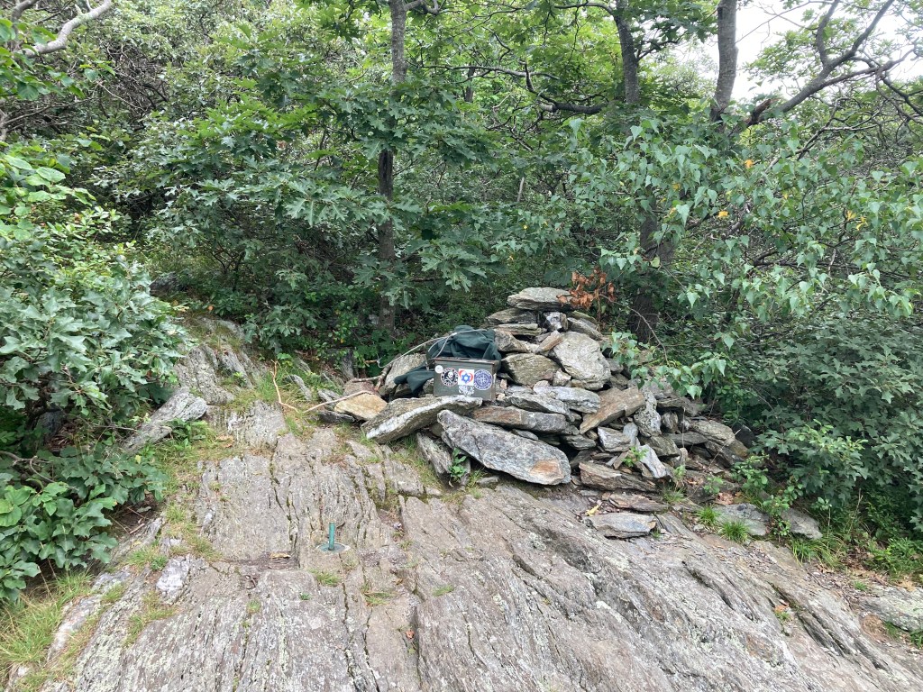
General info: Mount Frissell sits on the border between Massachusetts and Connecticut, in the far southwestern corner of Massachusetts. Although the summit itself is in Massachusetts, a short distance south is where the Connecticut border crosses over the mountain’s shoulder, marking the highest point in Connecticut. This makes Frissell a popular destination for those collecting state highpoints. From the summit, a trail heads west to another geographic curiosity: the tri-state marker, where Massachusetts, Connecticut, and New York meet. A small granite post designates the spot, and with a bit of creative positioning, it’s possible to place a hand in one state and your feet in two others simultaneously. Part of the Taconic Range, Mount Frissell is steep and rugged in sections, offering a challenging climb. To reach the summit, hikers must first climb over and descend Round Mountain in Connecticut before tackling Frissell itself.
Historical background: The origin of Mount Frissell’s name is unclear, but it may be derived from Lewis R. Frissell, who, along with Walter D. Wilcox and Samuel E.S. Allen, completed the first recorded ascent of Mount Temple in Alberta, Canada, on August 17, 1894. This climb was notable as the first to reach the summit of a peak over 11,000 feet in the Canadian Rockies. It is likely that Mount Frissell was named in honor of Lewis R. Frissell for his contributions to mountaineering, a theory further supported by the presence of Mount Wilcox, located about 16 miles northeast in Monterey, Massachusetts.
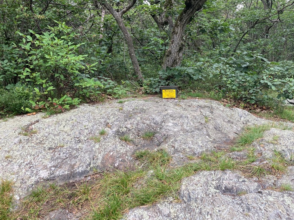
Recommended ascent routes: While it’s possible to approach Mount Frissell from the south, the most practical route is from the east. Start at the parking area on East Street, where the Mount Frissell Trail begins. My route took me over Round Mountain in Connecticut and then up to Mount Frissell. The summit is wooded, with a register stored in a clearly marked old ammo box. From the summit, I continued to Connecticut’s highpoint, where a benchmark is set into the bedrock. After that, I headed west to the Tri-State marker before going south into New York to reach the peak of Brace Mountain North. There are excellent views from Round Mountain and an exceptional overlook on the South Taconic Trail just north of Brace Mountain’s summit, as well as from Brace Mountain itself. After a rugged hike, I opted to avoid going back over Frissell and Round Mountain by taking the Brace Mountain Trail down, which added some distance but was easier on my knees. This was a fantastic hike, covering 5.1 miles with about 1,000 feet of elevation gain. You can find my route on AllTrails here.
If you would prefer a shorter route, just out to Mount Frissell and the CT highpoint and back, that can be found on AllTrails here. That is about 2.3 miles with about 860 feet of elevation gain.
Nearby Listed Peaks: There aren’t really any listed peaks in reasonable hiking distance from Frissell. But a short drive will bring you to Alander Mountain to the northwest, or Mount Everett and Mount Race to the northeast.
Click to enlarge photos:


Leave a comment