
Mass 50 Public Peaks rank: #11
Elevation: 2,556 ft.
Prominence: 241 ft.
Isolation: 0.83 miles
Summit coordinates: 42° 40′ 26” N, 73° 17′ 3” W
Town: Williamstown, Massachusetts
Conservation Area: Taconic Trail State Forest
Links:
Misery Mountain North on Peakbagger
Misery Mountain on Wikipedia
Taconic Trail State Forest on Alltrails
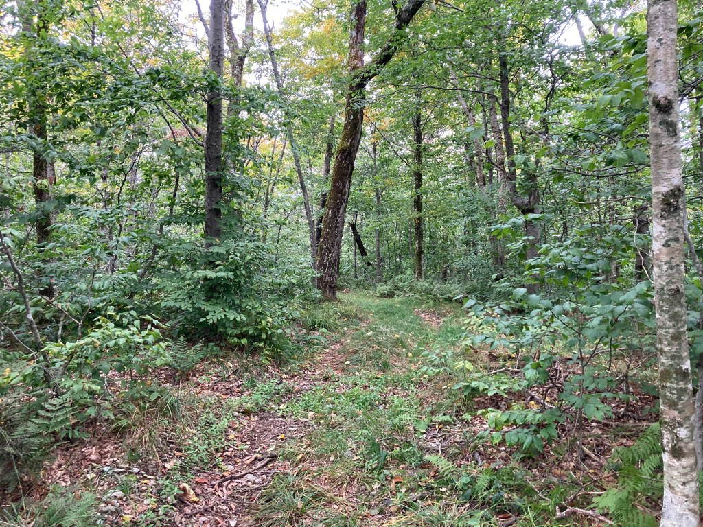
General info: A lot of this page will duplicate the info given for Misery Mountain, the highest peak of this ridge, located 2.1 miles to the south. Misery Mountain, part of the Taconic Range, is a six mile long ridge running along the New York/Massachusetts border. It has ten distinct peaks along the ridge, some of them close to one another in terms of elevation. The peak of Misery Mountain North is wooded and lies along the beautiful Taconic Crest Trail–one of my favorites in the state. Although there are no vistas along this hike, the woodland along the Taconic Crest has a special beauty with its oaks and occasional craggy twists in the trail. This is one of my favorite hikes of the Mass 50 Public Peaks.
Historical background: Given that this ridge has played a major historical role in marking the boundary between Massachusetts and New York, it’s surprising how little historical information is available about Misery Mountain. Disputes over this border date back to the 17th century but intensified in the 1750s, with skirmishes breaking out between colonists (see Mount Race for the story of how that peak was named for a Massachusetts man killed in these conflicts). At one point, New York claimed land extending east to the Connecticut River, while Massachusetts staked competing claims west of the Hudson. The issue was finally settled in 1786. Life for those living on or near the slopes of Misery Mountain must have been disrupted by these bloody disputes, yet there is scant information about their experiences. Interestingly, no one seems to know exactly why it was named ‘Misery Mountain.’ Perhaps the name is linked to the border conflict, but it’s more likely that it simply reflects the ridge’s imposing presence—a natural barrier stretching for miles that made travel arduous and miserable.
Recommended ascent routes:
Misery Mountain and Misery Mountain North loop–This link will take you to my route which included the peaks of Misery Mountain and Misery Mountain North. Parking is available at the head of the Phelps Trail on Oblong Road in Williamstown. I took the Phelps Trail up to the TCT which led to Misery North. The trail runs, by my estimation, directly over the highpoint of Misery Mountain North. From here, I took the TCT southward to the Misery Mountain summit which is not marked, and also wooded, but is along the trail. I backtracked then, took the Mills Hollow Trail down. Phelps is pretty steep. Were I to do this again, I might reverse the loop and go up Mills Hollow.
Nearby Listed Peaks: Aside from Misery Mountain itself, there are no other Mass 50 Public Peaks in convient hiking distance to Misery Mountain. But if one wanted to extend the above hike, I recommend including Berlin Mountain to the north which is not far along TCT. The summit lies just over the border in New York and has an outstanding view.
Click to enlarge photos:


Leave a comment