Mass 50 Public Peaks rank: #5
Elevation: 2,694 ft.
Prominence: 557 ft.
Isolation: 2.38 miles
Summit coordinates: 42°39’19.4″N 73°17’53.6″W
Town: Williamstown, Massachusetts
Conservation Area: Misery Mountain Wildlife Management Area
Links:
Misery Mountain on Peakbagger
Misery Mountain on ListsofJohn
Misery Mountain on Wikipedia
Taconic Trail State Forest on Alltrails
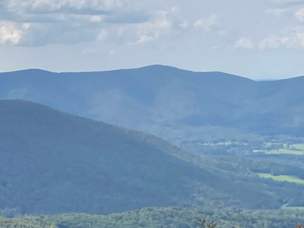
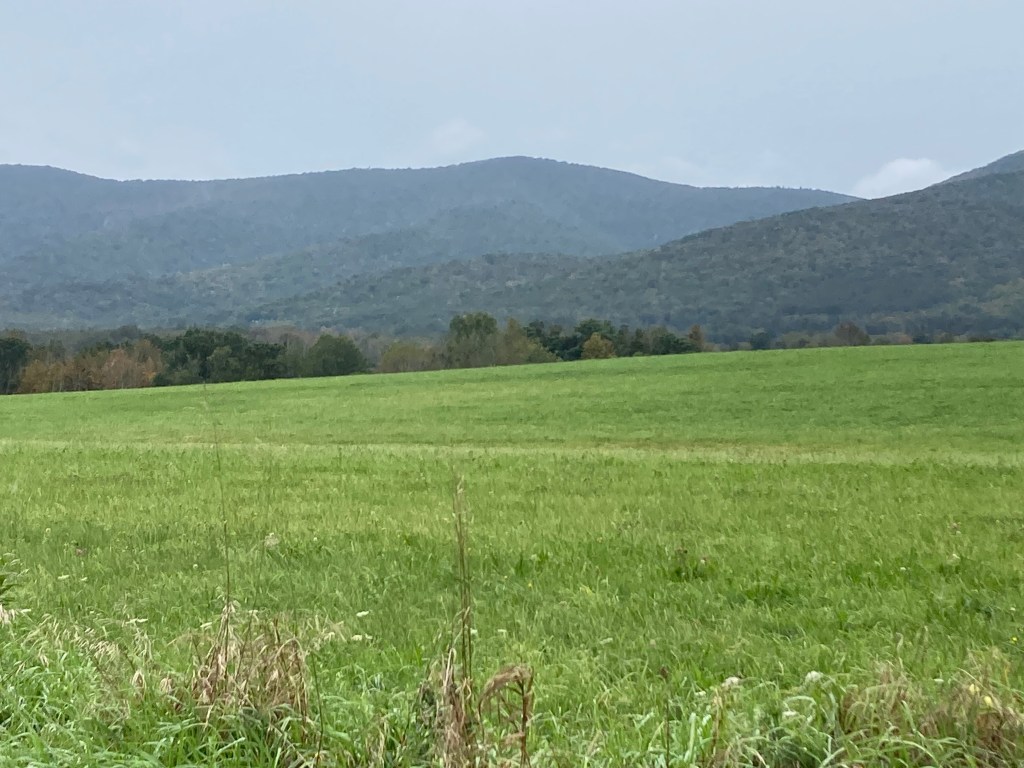
General info: Misery Mountain, part of the Taconic Range, is a six mile long ridge running along the New York/Massachusetts border. It has ten distinct peaks along the ridge, some of them close to one another in terms of elevation, so there are sometimes discrepancies on different websites as to which is the true high point of the ridge. There can also be some confusion about the names of the different peaks. The peak at the above coordinates, according to most sites, is indeed the highpoint. It is usually given as simply “Misery Mountain” though some sites refer to the peak as Misery Mountain North (note that this site, along with Peakbagger and others, uses Misery North for a different peak–the next one north on the ridge near Berlin Mountain). The highpoint is wooded and lies along the beautiful Taconic Crest Trail (TCT)–one of my favorites in the state. While there are no open summit views, the trail’s natural setting—dense oak forest with rocky spines and mossy slopes—has a quiet, rugged beauty. The wooded summit sits just off the trail (only 15–20 feet northeast by my estimation), but there’s no cairn or marker. It’s not a peak for view seekers, but for those pursuing the Massachusetts 50 Highest Public Peaks list, Misery Mountain offers solitude, a healthy workout, and the satisfaction of reaching one of the state’s highest ridges. This is one of my favorite hikes of the Mass 50 Public Peaks.
Much of the Massachusetts side of the mountain lies within the state-owned Misery Mountain Wildlife Management Area (WMA), which provides public access. Parts of the broader ridge are also protected by the Taconic Trail State Forest. Trails are lightly marked and maintained by volunteer organizations such as the Williams College Outing Club and Williamstown Rural Lands. The area is wild and largely undeveloped, with no facilities or services.
Historical background: Given the fact that this ridge has played a major historical role in helping to mark the boundary between Massachusetts and New York, it is a little surprising that historical information about Mount Misery seems so difficult to find. Disputes between the two colonies over their border run back to the 17th century but really heated up in the 1750s with actual skirmishes between colonists (see Mount Race for the story of how that peak was named for a Massachusetts man killed in these conflicts). New York at one point claimed everything east to the Connecticut River, and Massachusetts had competing claims that went west of the Hudson. This was finally resolved in 1786. Those living on or near the slopes of Misery Mountain must have had their lives disrupted by the bloody disputes, but there is little information about this. Indeed, no one seems to know exactly why it was given the ominous name ‘Misery Mountain.’ Perhaps it has something to do with the border conflict, but more likely, it was simply named for the tremendous barrier it presented—like a great wall stretching for miles—that made travelers miserable.
Recommended ascent routes:
Misery Mountain and Misery Mountain North loop–This link will take you to my route which included the peaks of Misery Mountain and Misery Mountain North. Parking is available at the head of the Phelps Trail on Oblong Road in Williamstown. I took the Phelps Trail up to the TCT which led to Misery North. Then the TCT southward to the Misery Mountain summit which is not marked. The trail runs virtually over true highpoint (by my estimation it was perhaps 15 to 20 ft northeast of the trail). I backtracked then took the Mills Hollow Trail down. Phelps is pretty steep. Were I to do this again, I might reverse the loop and go up Mills Hollow.
Nearby Listed Peaks: Aside from Misery Mountain North, there are no other Mass 50 Public Peaks in convient hiking distance to Misery Mountain. But if one wanted to extend the above hike, I recommend including Berlin Mountain to the north which is not far along TCT. The summit lies just over the border in New York and has an outstanding view.
Back to Massachusetts 50 Highest Public Peaks list
Click photos to enlarge:


Leave a comment