Mass Public Peaks rank: #2
Elevation: 3,248 ft.
Prominence: 208 ft.
Isolation: 1.84 miles
Summit coordinates: 42° 36′ 49” N, 73° 11′ 30” W
Town: New Ashford
Conservation Area: Mount Greylock State Reservation
Links:
Saddle Ball Mountain on Peakbagger.com
Saddle Ball Mountain on ListsofJohn
Saddle Ball Mountain on Wikipedia
Massachusetts Mount Greylock State Reservation Website
Mount Greylock State Reservation on Alltrails
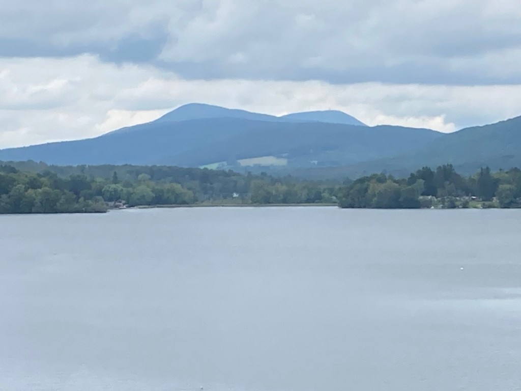
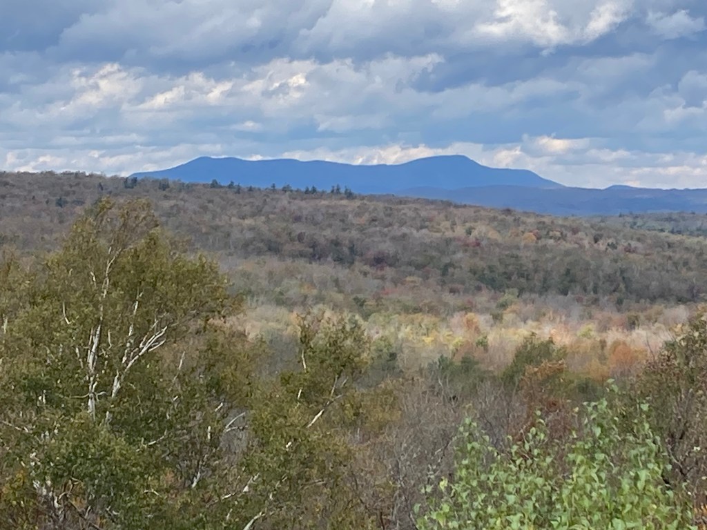
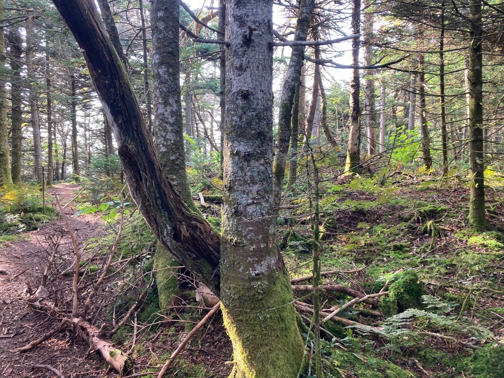
General info: Saddle Ball Mountain, part of the Taconic Range, is the second highest point in the Mount Greylock State Reservation, the highest peak in the town of New Ashford, and #2 on the Mass Public Peaks list. It lies about 1 mile south of Greylock’s summit and is traversed by the Appalachian Trail. There is no view from the wooded summit but there is a fine vista and picnic area along the southern approach by the Jones Nose Trailhead, about 1.4 miles before reaching Saddle Ball Mountain. As the Wikipedia article explains, Saddle Ball forms a ridge with multiple small “peaks”. There is some consensus that southernmost, as marked on Peakbagger, appears to be slightly higher than the others–it certainly seemed so to me, simply using the Alltrails app.
Historical background: This peak and Greylock together, when viewed from the south, bear a strong resemblance to a saddle, with Greylock as the “Saddle Back” (and indeed Greylock was long known by that name to early settlers) and the front being known as the “Saddle Ball” aka the cantle of a saddle. In the late 1960s and early 1970s, when development plans to build a major ski area on Greylock failed, the developers set their sites on Saddle Ball, calling it one of the only remaining viable sites in Massachusetts for a large ski resort. The plans were bold and the push was strong, gaining the backing of local and even national politicians including U.S. Senator Teddy Kennedy. The proposed ski area would have had a vertical drop of approximately 1,720 feet, which would have made it among the largest in southern New England. Plans unveiled in 1964 detailed a $1.4 million development, including a 125-room motel, golf course, and multiple ski lifts. Conservationists, particularly at the state level, played a crucial role in opposing the Saddle Ball ski area development. Their efforts contributed to the preservation of the Mount Greylock State Reservation, ensuring that the natural beauty and ecological integrity of Saddle Ball Mountain remained intact for future generations.
Recommended ascent routes: The Mount Greylock State Reservation covers about 12,000 acres and is full of excellent trails. A DCR trail map can be found here. Here are just a few suggested routes that include the summit of Saddle Ball Mountain as shown on Alltrails.
Jones Nose Trail–2.2 miles out and back, 875 feet elevation gain. Parking at the Jones Nose Trailhead Parking area feels a bit like cheating as it’s rather high up on the massif. But this is the most convenient way to reach the summit of Saddle Ball Mountain as all other trailheads are quite far away. Jones Nose is an outcropping on the way to Saddle Ball. This little hike can be combined with the loop to Rounds Rock for a slightly longer hike totaling about 4.5 miles and about 1,275 in elevation gain. Rounds Rock is #9 on the Mass Public Peaks list. I enjoyed doing this route.
Jones Nose to Greylock–This longer out and back hike from the Jones Nose Trailhead crosses the summit of Saddle Ball Mountain and continues on to the peak of Greylock for a hike of 7.6 miles and 1,781 feet in elevation gain.
Saddle Ball Mountain via Appalachian Trail–Climbing the full height of Saddle Ball from the valley floor can be done by parking at the Appalachian Trail crossing on Route 8 in Cheshire and following the AT north to the summit. This would be an out and back of about 10 miles and 2,300 in elevation gain if you just went to Saddle Ball. But anyone going this route would probably want to continue on to Greylock. Frankly, that’s pretty well out of my league.
Nearby Listed Peaks: The “Greylock massif” consists of a number of peaks, some of them prominent enough to be considered independent. Several nearby are on the Mass Public Peaks list including Greylock itself, Mount Williams, Stony Ledge, Ragged Mountain, Mount Prospect, and Rounds Rock. As mentioned above, Rounds Rock is the closest and easily paired with Saddle Ball.
Back to Massachusetts 50 Highest Public Peaks list
Click photos to enlarge:


Leave a comment